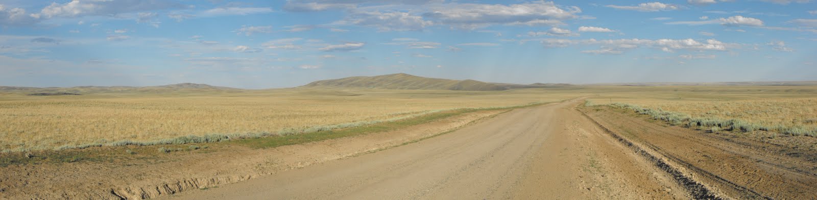
Part of today's ride traversed the Continental Divide, with three official crossings. I continued on the dusty gravel roads to State Highway 28, knowing that I had to be careful since the posted speed limits for vehicles is around 65 on these roads. Once I hit the highway there was a small rest stop, with an interpretive sign on the Oregon and Mormon Trail emigrants of South Pass (7550 ft). A small climb to climb between the Atlantic and Pacific Watersheds led me to South Pass city, where a small general store provide an ice cold Sarsaparilla. It was on to Atlantic City with a wonderful (a short) descent into this small town, upon arrival I found that my steed had succumbed to its first flat (a bad sign of times to come). I met a fellow GDMBR rider and we sat to share stories, eat, eat, eat and fix the flat. Many others on the GDMBR use this stop as a place to refuel, and Travis Pastrana spent the night here on his journey as well. With a PB&J to go, I was off for the remaining 10 miles to Sweetwater River, a difficult climb out of the city led to a quick ride to the intended campsite. In the short 10 miles I met three sets of CDT hikers, and then had to have a record set up time with my tent due to the unrelenting attacks from mosquitoes.
Miles: 48


i'm not sure...but i think that sign belongs in moosup too haha...love it.
ReplyDeletePlease be proud of your accomplishment. You are in a select group of very courageous people! Take care of those knees!!
ReplyDelete